
Lake Havasu City ZIP Directory Areas
Four postal codes appear in Lake Havasu City records, but only three are demonstrated street-delivery areas. This postal directory keeps that distinction visible. City permits, civic addresses, fire facilities, and postal evidence support the broad descriptions below. They do not draw a legal boundary around each code or promise that every address near an edge has the expected number.
| ZIP Code | Areas Covered | Post Office | Notes |
|---|---|---|---|
| 86403 | Central and north-central civic and commercial core; McCulloch and Kiowa corridors | Lake Havasu City Post Office, 1750 McCulloch Blvd N | City Hall, library, and county complex use it |
| 86404 | Northern and northeast residential areas; airport and Highway 95 side | Separate station not verified | Street delivery shown in city records |
| 86406 | Southern and eastern residential tracts | Separate station not verified | Street delivery shown in city records |
| 86405 | PO-box mailing use | Exact USPS facility designation unverified | Treat as a PO-box route, not a street area |
Do not fill the station gaps with guesses. Search an actual street through USPS before using a postal area as a filter. A PO-box mailing can belong to a person or group whose physical location is in another postal area, and the postal city still does not establish municipal jurisdiction.
Verify Lake Havasu City ZIP Codes
The USPS ZIP Code Lookup is the first check for one address. It can test an address or find ZIPs by city and state. Use the address mode when the goal is a parcel or resident trail, because a city-wide result does not resolve where a given street number receives mail.
| USPS route | Input | Best use |
|---|---|---|
| Find by address | Street, city, state | Confirm one deliverable address and postal code |
| Find by city and state | Lake Havasu City, Arizona | Review city-associated codes without assigning an address |
| ZIP result | ZIP or ZIP+4 | Carry the verified postal clue into the parcel search |
The official lookup screen used for the Lake Havasu postal search appears below.
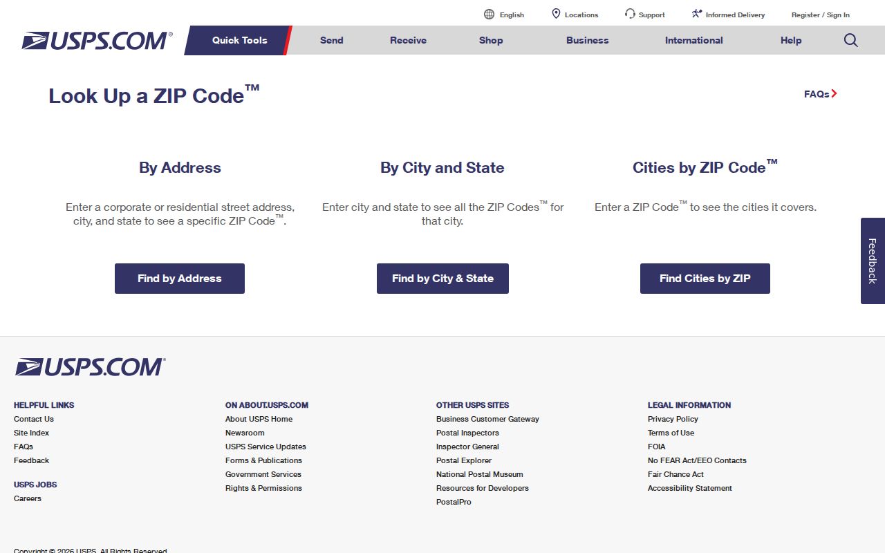
The result verifies mail routing. It does not say whether the parcel lies inside the incorporated city.
Note: No authoritative ZIP split, realignment year, or citywide street-renumbering event was found, so none should be inferred.
Lake Havasu City ZIP Post Office
The documented main postal facility is the Lake Havasu City Post Office at 1750 McCulloch Boulevard North, with the postal form 86403-9998. Official USPS location details provide the facility record. Separate stations for the street-delivery areas 86404 and 86406 were not located in the research, so a station name should not be assigned just because an address uses one of those codes.
The USPS facility page is captured here for readers checking the service point.
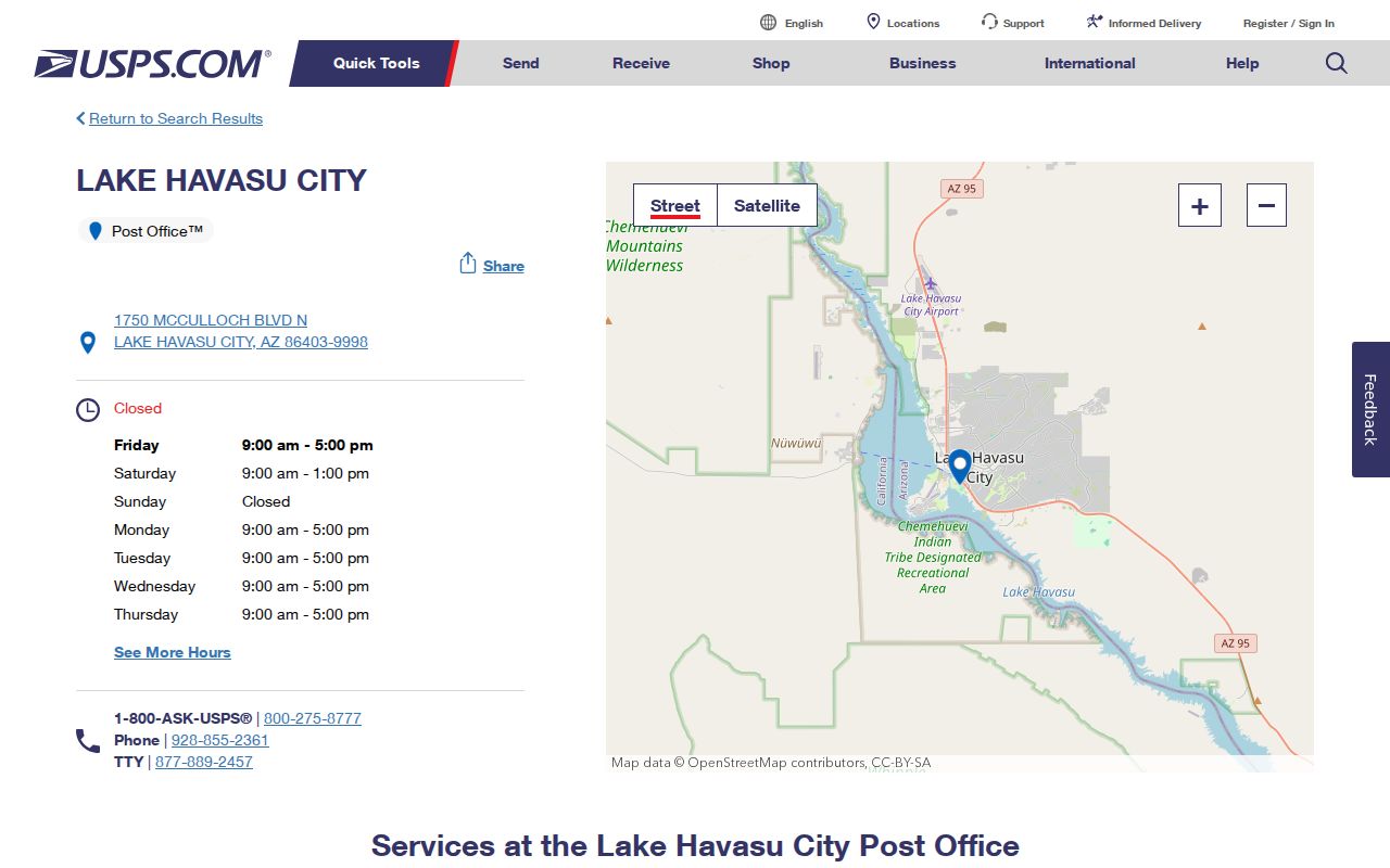
Facility details help with mail services, but they do not turn the post office into a resident list or records custodian.
Find Lake Havasu City Residents by ZIP
No direct ZIP filter was verified in the Mohave County Assessor or GIS viewer, and the Recorder's address search is inconsistent because recorded instruments may omit an address. The defensible workflow is narrower. It starts with an individual address, maps that point, and then tests records tied to the parcel. It does not promise a full ZIP-wide resident export.
- Enter the complete street address in USPS and record the standardized postal result.
- Search the same street address or APN in the Mohave County parcel tools. APN means assessor parcel number.
- Map the parcel in county GIS and compare it with the official incorporated boundary.
- Use names, deed roles, and dates in official indexes only after the address and parcel agree.
- Move to street-level research when the postal directory has narrowed the search area.
The Lake Havasu City street directory covers that next address-level step. Voter self-service is not a public ZIP roster. Mohave bulk voter data requires a written request, advance payment, and a purpose authorized by A.R.S. § 16-168; online publication is barred.
Map Lake Havasu City ZIP Jurisdiction
Lake Havasu City's official city-limit layer is the correct comparison after a postal lookup. The city-limit GIS layer exposes the municipality, boundary type, square miles, FIPS identifier, and update date. It also supports spatial queries and common data formats. That boundary answers a government-jurisdiction question that a postal label cannot.
The map-service screen is shown below.
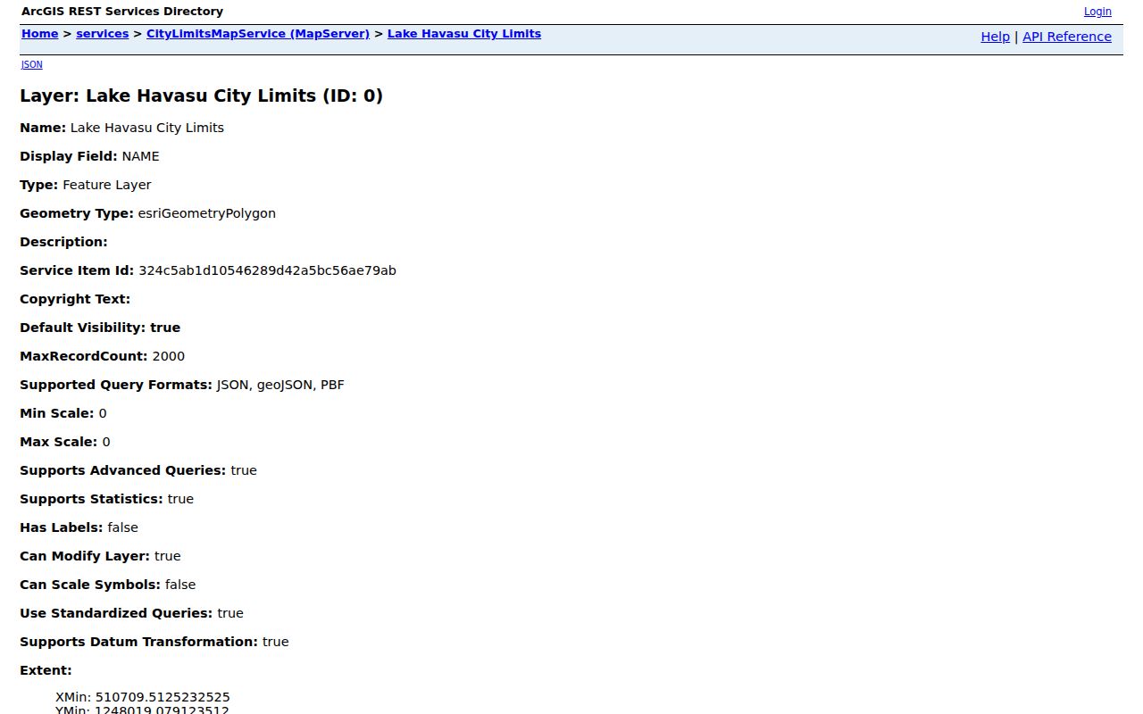
The layer should be used as a current reference, then checked against the source record if a boundary-sensitive issue turns on one parcel.
Lake Havasu Directory Beyond City Limits
The General Plan planning area spans 84.9 square miles, or 54,332 acres. It is much larger than the incorporated boundary and includes water-service, anticipated annexation, and influence areas. Just over one-third is private land; other portions involve Mohave County, State Trust, and Bureau of Land Management land. That mixed geography is why a Lake Havasu City ZIP code can be a poor proxy for the office that holds a record.
Jurisdiction changes the search route. A site inside Lake Havasu City may lead to city permit, code, or municipal records. A nearby site with the same postal city can instead depend on Mohave County or another land authority. Start with the parcel and city-limit layer before choosing a custodian. This matters along broad planning edges, where a familiar Lake Havasu mailing address can conceal a different legal boundary. Postal consistency is useful for delivery, but the public-record trail follows the agency with legal control.
The city's incorporated area is 46.34 square miles in Census QuickFacts. Current demographic context is available through the Lake Havasu City Census profile.
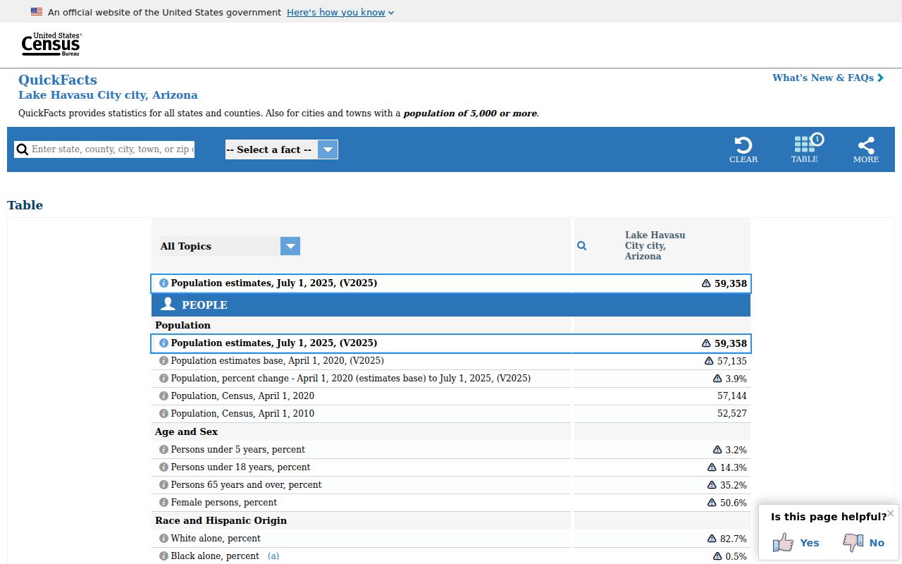
The Census profile describes the incorporated city, not a postal delivery footprint. Keep those two denominators separate when comparing counts or rates.
Note: The planning boundary, city boundary, Census geography, and postal service areas answer four different questions.
Address Evidence in Lake Havasu ZIPs
City permits supply concrete, dated address examples across the three street-delivery areas. January 2026 records include Riverboat Drive and Isola Bella Loop in 86403, Simitan Drive and Sombrero Drive in 86404, and Kearsage Drive and Tolteca Drive in 86406. Permit reports also show the permit type, entered and issued dates, permit number, cost, contractor, APN, and status. They date activity at a site but do not identify every resident.
The APN is the stronger bridge among maps and land records. Mohave parcel numbers may appear with hyphens and a letter suffix, while street text can vary through directional marks and local branding. McCulloch Boulevard is also called Main Street or McCulloch Mile in local promotion, but those names are not legal index replacements. Search the official street form first. Lake Havasu's wash-cut terrain also creates curved and irregular blocks, so a sequence of street numbers may not map to the nearest parcel in the way a simple grid suggests.
Vacation-rental records form another narrow address layer. The Lake Havasu City vacation-rental program requires local compliance information for regulated properties. It should not be expanded into a general household directory.
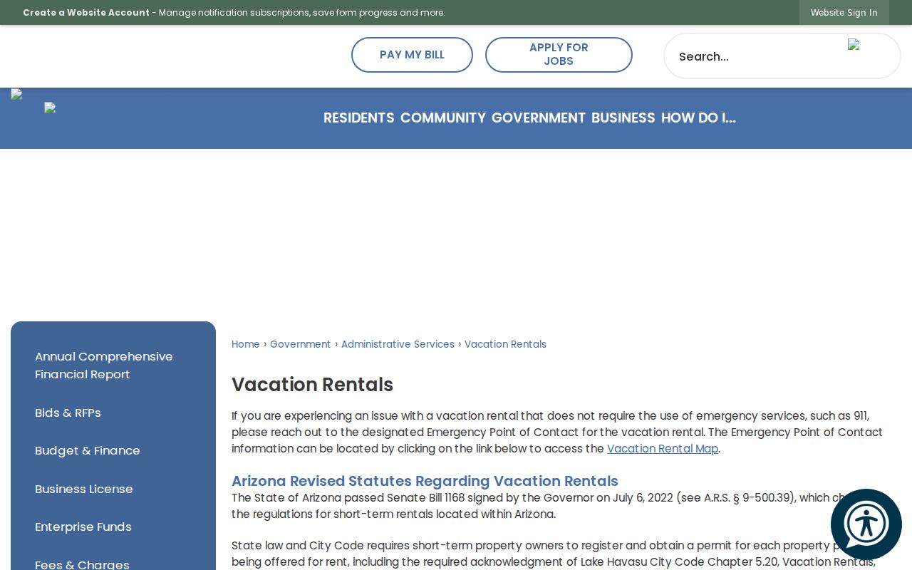
The city page shows why program records can confirm a regulated address while saying little about nearby homes.
Decode Lake Havasu ZIP Boundaries
A ZIP is a mail route, not a legal city district. A ZIP+4 narrows delivery further. A carrier route groups addresses for postal delivery. None of these is a parcel boundary, voter precinct, neighborhood, or incorporated limit. The local postal guide works best when each term retains its own purpose.
- ZIP versus ZIP+4
- The five-digit code marks a delivery area; the extra four digits refine a segment or destination.
- PO-box ZIP
- A code used for post-office box mail rather than a mapped street-delivery neighborhood. Lake Havasu evidence places 86405 in this category.
- Unique ZIP
- A code assigned to one high-volume organization. No unique Lake Havasu City code was verified.
- Carrier route
- A group of delivery points served on one postal route, not a city or parcel line.
Parcel ownership and occupancy are also distinct. The Assessor may show an owner and a separate mailing address, yet that owner may not live at the situs, which means the physical parcel address. A trust or other entity can hold title. A renter may never appear on the property card. The ZIP search therefore narrows geography; it cannot supply a complete list of people within that geography.
The final check is simple: USPS for the mail code, county parcel data for the land unit, city GIS for incorporation, and the actual custodian for the record. That sequence keeps postal clues useful without asking them to prove facts they were never designed to show.