
Walk Lake Havasu City Streets
A sound street-by-street search moves from the most stable key to the least stable clue. Street text may change in form, and a mailing address may lead elsewhere. A Mohave County assessor record supplies the parcel number, or APN, plus the physical situs address, legal description, subdivision, lot, block, assessed owner, and mail destination. The GIS map then tests which polygons meet the street. Once the right land is fixed, the Recorder's party index can trace deeds. City permit reports add dated work. Historical telephone or reverse editions may add a listed subscriber, but the exact Lake Havasu City years must be confirmed with a repository.
- Normalize the full street address and use the Mohave County Assessor search to recover its APN, situs, owner, and legal description.
- Open the same point in county GIS. Select the subject polygon and the lots that actually touch it instead of trusting house-number order.
- Search the assessed owner as a Recorder grantee near the likely purchase date. Keep the APN and legal description beside each deed result.
- Add city permits and certificate-of-occupancy dates as property milestones, not as proof that every named person lived there.
- For an older household, ask which telephone or reverse volume covers the date, inspect its key, and compare the entry with deeds or an obituary.
This order keeps a Lake Havasu City by-street search tied to land. It also shows where the evidence weakens. An owner may live elsewhere, a resident may own nothing, and a listed phone subscriber may represent only one member of a past household.
The official Assessor bridge shows the route into that first parcel step. Its current screen can be previewed through the Mohave County Assessor lookup page.
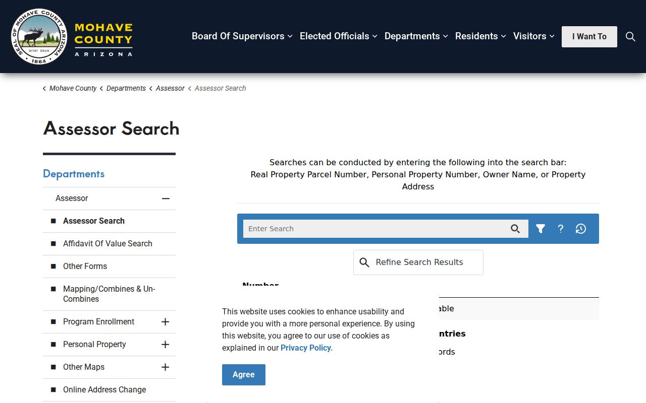
The screen anchors the address workflow in an official county source before names are carried into other indexes.
Search Lake Havasu City Parcels
The Assessor and Accela address lookup serve related but different functions. The Assessor record is the source for the parcel card. Accela's APO page can search an address, a parcel, or an owner and accepts a street-number range, so it is useful when the goal is a segment rather than one house. A range can reveal candidate sites, but each candidate still needs an authoritative parcel check. A Lake Havasu City by-address search should never treat a range result as a household roster.
| Search control | Input | Use by street | Limit |
|---|---|---|---|
| Street Number From / To | One number or a range | Find one site or a street segment | Returns address candidates |
| Direction and Street Name | Text and selector | Separate similarly named streets | Use the official indexed name |
| Street Type, City, State, ZIP | Filters | Narrow the Lake Havasu City result set | Postal city is not proof of city limits |
| Parcel Information | APN | Carry a durable land key forward | Verify on the parcel card |
| Owner | Name | Find parcels linked to an assessed owner | Ownership does not prove occupancy |
The Mohave APO address and parcel lookup shows these address-range controls in context.
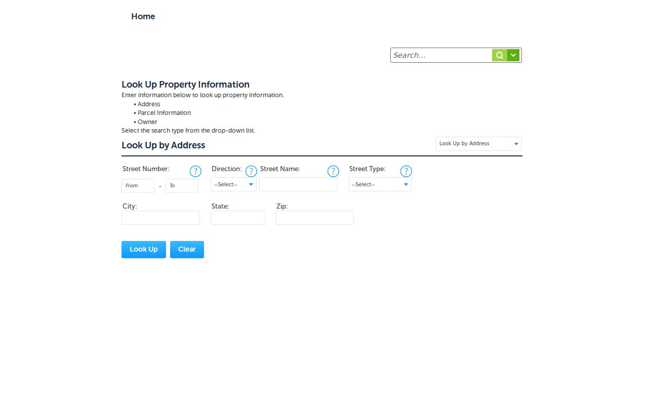
That range option is a practical bridge from one Lake Havasu City address to a short, defined stretch of street.
Browse Lake Havasu City Street Maps
Lake Havasu City's wash-cut terrain makes a map essential. Curved streets, washes, cul-de-sacs, and irregular lot lines can put consecutive house numbers far apart. In the Mohave County Public Map Viewer, keep the parcel and street layers visible, identify the target, and click the polygons that share an edge. Aerial, zoning, right-of-way, planning, and jurisdiction layers can explain why a lot looks close yet lacks direct access. The viewer is a reference tool. It is not a title report, legal survey, navigation system, or engineering record.
The viewer also has a documented one-month risk of lag after some parcel splits, while zoning data updates weekly. That timing matters when a recent split creates a parcel-map mismatch. Verify the selected APN in the Assessor record and use the recorded plat or deed when the boundary itself matters.
The county's GIS maps guidance states those limits and explains the available layers.
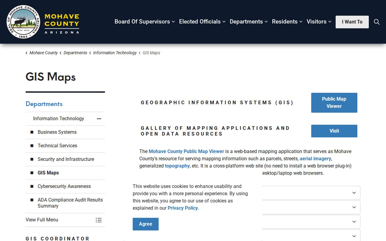
Those cautions keep a useful visual street search from being mistaken for legal proof.
Map tip. Trace touching parcel polygons in Lake Havasu City; do not assume the next street number is the true next lot.
Read Lake Havasu City Address Records
Address-keyed sources answer different questions. The parcel card identifies assessed ownership. GIS supplies shape and adjacency. Recorded instruments show titled parties and transfers. Tax accounts add payment and assessment history. Permits date work at the site. A reverse directory, if the checked edition has an address section, may show a listed subscriber. Arizona's voter dashboard is only for authenticated self-service, and Mohave voter data is restricted to purposes allowed by A.R.S. § 16-168. It is not an open street browser.
| Lake Havasu source | Street evidence | Access route | What it cannot prove |
|---|---|---|---|
| Assessor parcel card | Situs, APN, legal text, assessed owner, mail address | Free county search or College Drive counter | Who occupies the site |
| Public Map Viewer | Parcel geometry, streets, aerial and jurisdiction layers | Free map, selection and export | Legal boundary or title |
| Recorder EagleWeb | Grantor, grantee, date and instrument data from 1988 | Free index; copies online or by office request | Every occupant or a guaranteed address match |
| Treasurer tax account | Owner, legal and situs address, values, payment and assessment data | Guest search by owner, parcel, or structured address | Current household members |
| City permit reports | Address, ZIP, APN, permit, contractor, dates and status | Static reports and permit portal | A household list |
| Telephone or reverse volume | Listed name at an address, if its key supports that use | Repository check and volume inspection | Unlisted people or complete local coverage |
| Voter information | Self-service registration data or a lawfully requested file | Identity-gated portal; bulk access limited by Arizona law | An open street or neighbor roster |
A parcel number is the strongest join among the modern sources. A street name helps discovery, but the legal description and APN are safer when spelling, direction, or postal form varies.
- Parcel
- A mapped tract of land identified for assessment, usually by an APN.
- Situs address
- The physical location of the parcel, which may differ from the owner's mailing address.
- Plat
- A recorded map that lays out lots, blocks, streets, and other land divisions.
- Criss-cross directory
- A directory arranged by address or phone number rather than only by a person's surname.
Export Lake Havasu City Streets
GIS selection turns a visual street into a working parcel list. Search or pan to the area, keep parcels visible, use the Identify Multi-Tool or selection control, mark the relevant lots, and export the selection. CSV, XLSX, and Shapefile formats are available. The public export is capped at 2,000 results, which is more than enough for a short street or block but not a promise of unrestricted countywide data.
Open each exported APN in the Assessor system before using its owner or mailing details. A selection is only a set of map features. Recent splits may lag, and an owner mail address may point to a post office box, another city, or an entity. This is the key insider step in Lake Havasu City by-street research: let GIS define the land set, then let the source parcel cards describe each site.
Note: Optional GIS sign-in saves projects, but basic viewing, selection, and export remain open without an account.
Track Lake Havasu City Street Deeds
Recorder EagleWeb indexes Mohave County documents from 1988 to the present. Enter names last name first, without a comma. The Recorder recommends at least one party and an approximate transaction date. Search a current assessed owner as grantee to find an acquisition deed, read the seller as grantor, and preserve the date, fee or book-page reference, and legal text. To move back again, search that seller as an earlier grantee. Repeat only while the legal description or APN remains consistent.
An address-only deed search is fragile. Some instruments omit the address, parcel number, or indexed legal description. Courtesy legal-description data is not verified. A miss does not prove that no deed exists. At the 1988 cutoff, use the Recorder's Lake Havasu counter at 2001 College Drive, phone, mail, older index books, or microfilm. Copies cost $1 per page and certification is $3 per document, but an index result itself is not a title guarantee.
The Mohave County Recorded Document Search is the official index entry point for this Lake Havasu City deed work.
Note: The online cutoff leaves about 24 years of early planned-city development outside EagleWeb, so counter research is part of a full chain.
Date Lake Havasu City Address Work
Lake Havasu City permit reports add a construction timeline to the address record. Static combined reports cover 2010 through 2022, and monthly reports continue from 2023 through July 2026. A January 2026 report demonstrates the fields: type and subtype, entered and issued dates, permit number, full address and ZIP, project cost, contractor, APN, and status. Certificate-of-occupancy reports add a permit, CO date, type, and location. These records date work or use approval, not every person who occupied the site. The Lake Havasu City building-permit archive shows the report route and current permit information.
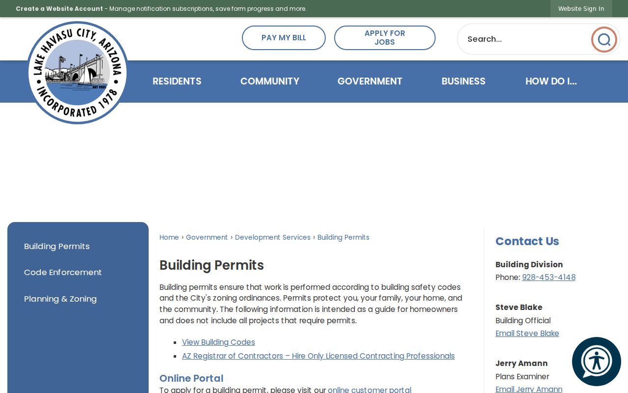
The archive helps place an addition, remodel, or occupancy milestone beside a deed without confusing the contractor with a resident. For current cases, the Lake Havasu permit portal provides the live search route.
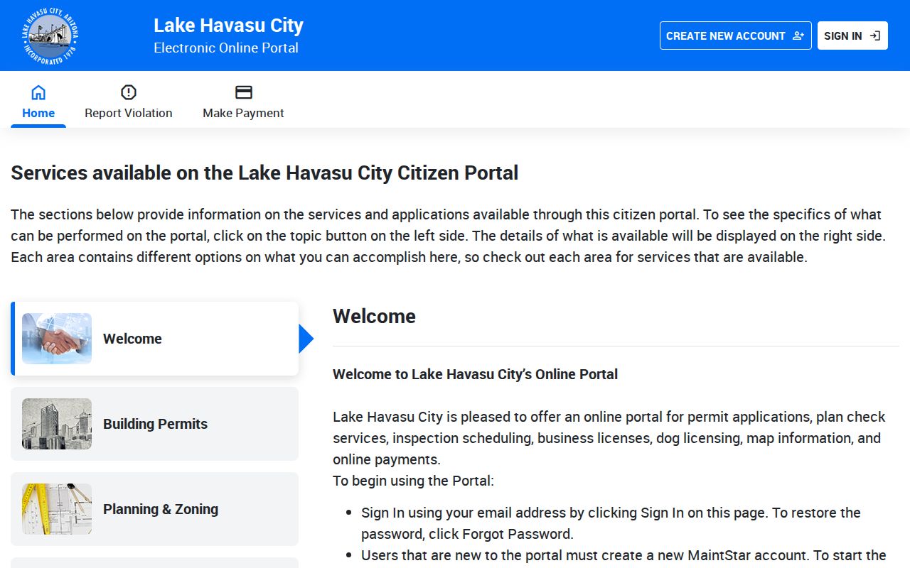
Using both routes preserves older report evidence while checking the present permit record.
Use Lake Havasu Street Names
Lake Havasu City was master-planned over uneven terrain in the 1960s rather than built on a simple historic grid. Directional suffixes recur on McCulloch Boulevard, Palo Verde Boulevard, and Lake Havasu Avenue. McCulloch is also promoted as “Main Street” or “McCulloch Mile,” but those phrases are branding, not replacement index keys. Use the formal street name shown on the parcel record, permit, or USPS result.
No authoritative citywide renumbering, renaming crosswalk, or ZIP realignment year was found in the research. Do not manufacture one to explain a failed result. Instead, compare APN, subdivision, lot, block, and legal description. The city's street maintenance page supplies the official municipal street context.
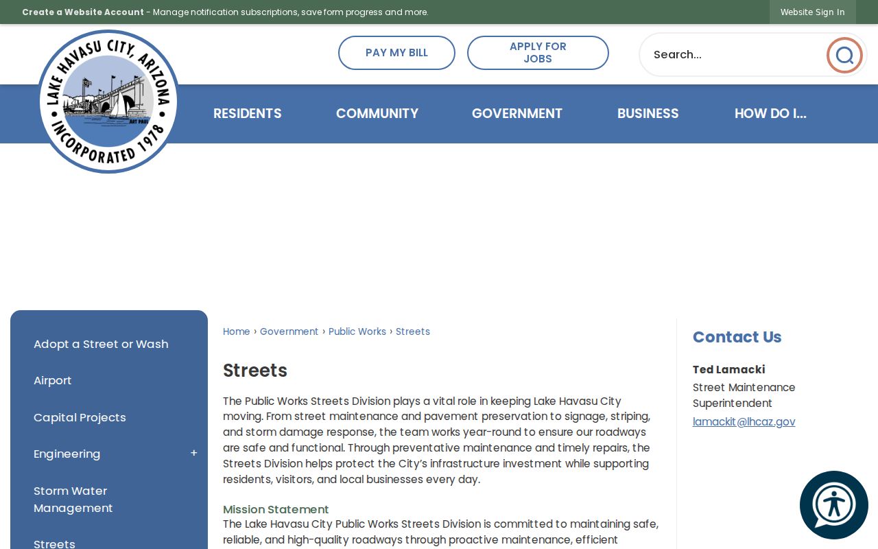
That official naming context prevents an informal corridor label from breaking an otherwise sound address search.
Check Lake Havasu Reverse Directories
Historical address research shifts from the parcel to the shelf. The Arizona State Library telephone-directory inventory includes Lake Havasu City, but its rows did not expose verified local years or publishers in machine-readable form. Mohave County Library also does not publish an itemized run of reverse directories, phone books, or local microfilm online. Call the Lake Havasu branch, ask for the precise year, and confirm that the volume has a street or reverse section before drawing any conclusion.
Inspect the title page and abbreviation key first. Then copy the address entry exactly and compare the editions on both sides of the target year. A listed subscriber may be an occupant, yet the book can omit other residents. Full coverage of the local collections, repositories, and reading methods belongs to the Lake Havasu City directory collections resource. Here, the reverse volume serves one narrow street-by-street task.
Lake Havasu Street Directory Limits
No official source supplies a complete Lake Havasu City household list. Assessor and GIS records describe assessed ownership and land, not all residents. Deeds follow titled parties. Permits follow work. Directories miss unlisted names. Utility and motor-vehicle customer data are not open substitutes, and protected addresses may be withheld. The Arizona voter portal authenticates a person checking their own record; it cannot browse a street. Address-bearing voter files remain limited by state law and protected-address rules.
A commercial neighbor tool may blend parcel, marketing, and old directory data, but that blend does not prove who is present now. The strongest conclusion states what each source actually shows and where it stops. If the goal narrows from a whole street to one named person, the Lake Havasu City resident lookup explains how to test two matching keys without merging people who share a name.
Lawful use. Use Lake Havasu City address records for property, family, civic, and personal research. Never use them to stalk, harass, threaten, or harm anyone.